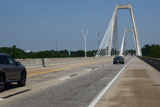
East End Crossing Partners, a subsidiary of VINCI Highways and BBGI, concessionaire of the Lewis and Clark Bridge (Ohio River Bridge–East End Crossing), one of the first bi-state P3s in the United States, has just completed the upgrade of its road pavement marking to enable the circulation of autonomous vehicles on the bridge.
As self-driving vehicles rely on precise markings to detect boundaries and road instructions, East End Crossing teams have enhanced lane and intersection markings with high-contrast black trailing stripes. These improvements significantly increase visibility for camera-based vehicle systems, especially in low light or adverse weather conditions.
Combined with the fact that vertical signage was already compliant with autonomous driving standards, this upgrade means the East End Crossing is now fully ready to support autonomous vehicles. The new pavement markings comply with the Indiana Highway standards, a set of specifications applied across the State for highways that are part of the State network and designed to ensure consistent, high-visibility lane guidance for both human and machine drivers.
The works were delivered in coordination with the Indiana Finance Authority (granting authority) which also oversaw the certification and validation of compliance. This initiative supports the State of Indiana’s broader strategy to enable the safe deployment of autonomous vehicles through consistent and high-standard lane marking practices.
The development of autonomous driving is accelerating, driven by its expected benefits: increased road safety, smoother traffic flow, less congestion, and better fuel efficiency. In the United States, Level 3 vehicles (able to assume full control of driving under certain conditions) are already available, and the East End Crossing is now aligned with their operational needs.
Opened ahead of schedule in 2016, East End Crossing has demonstrated the capacity of the PPP model to meet major infrastructure challenges. The project notably earned top-level environmental certification and secured a successful refinancing through green bonds. The completion of the marking upgrade to support autonomous vehicle navigation reflects the same forward-looking approach, confirming the ability of public-private cooperation to adapt infrastructure to emerging technologies and prepare it for the next generation of mobility.
Facts & figures about the new pavement markings
- Dashed lane lines: Each white dash, measuring 10 feet in length and 6 inches in width (the standard format used to separate lanes) is followed by a 10-foot black stripe. This added contrast makes the lane boundaries easier for vehicle cameras to detect, especially in low light or rainy conditions.
- Intersection markings: The white lines placed at intersections, typically 3 feet long and 6 inches wide, is extended with a 3-foot trailing black stripe to enhance their visibility for autonomous systems approaching stop zones or turns.
- 24 linear miles (39 km) of pavement markings were upgraded
- 96 total work hours were achieved to complete the upgrade